
Vegetation and Corridors
Keep power lines, pipelines, and rights-of-way clear, with a continuous record of vegetation.
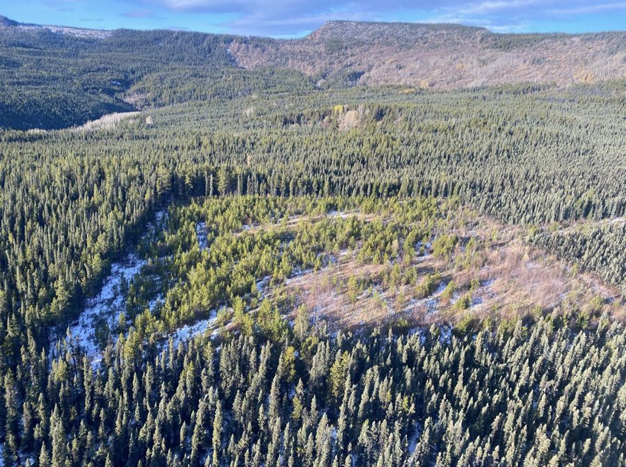
One continuously updated picture of the land, read five ways: vegetation, wildlife, water, reclamation, and cumulative effects.
For project teams, regulators, and land managers across Canada, with offices in Calgary, Fort St. John, and Nanaimo.
Each topic page lists the federal, British Columbia, and Alberta rules that apply, and how continuous evidence supports them.
Keep power lines, pipelines, and rights-of-way clear, with a continuous record of vegetation.
See where species live and move before the permit conversation starts.
Know where work meets streams, wetlands, and fish habitat.
Size legacy sites in 3D and show reclaimed land recovering.
A repeatable baseline for the combined pressure on the land.
You never have to pick one. They are matched to your project.
Know the whole landscape, including its cumulative effects.
Capture corridors and sites with fast, precise imagery.
Turn data into a story every party can read.
Size contamination and plan excavation with fewer surprises.
A traditional baseline study takes months and ends the day it is delivered. genesis-ei gives an initial picture in minutes and can repeat it, so the evidence you hand over is always current.
It is tracking the condition of land over time, including vegetation, wildlife habitat, water and fish habitat, contamination, and reclamation, so project teams and reviewers work from the same current evidence.
An initial landscape-scale analysis with genesis-ei takes minutes. A fully verified baseline for a specific project adds ground truthing by qualified professionals.
No. The tools work together: genesis-ei to understand, rapid-ortho to document, geo-story to communicate, and smart-dig to resolve contamination. We match them to your project.
No. It supports qualified professionals, land use plans, and community knowledge by handling repetitive analysis so people can focus on judgment and delivery.
Across Canada, from offices in Calgary, Fort St. John, and Nanaimo.
Tell us about your project area. We’ll show where to start.