
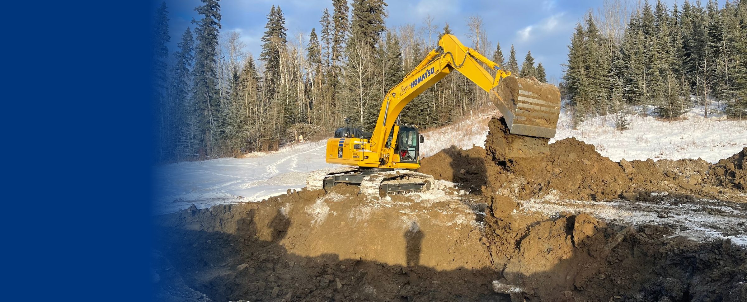
Where precision meets certainty
smart-dig
3D contamination plume modelling from historical assessment data, so you design the excavation before the machine moves.
For remediation teams, operators with legacy liability, and the investors behind them.
What is smart-dig?
smart-dig uses historical assessment data to build a 3D conceptual contamination plume, so remediation teams can estimate the volume of contaminated soil and design the excavation before the machine moves.
- How accurate is the plume model?
- Plume accuracy averages plus or minus 1 to 5 metres, depending on sample density and positional accuracy.
- Does it connect to machine control?
- Yes. smart-dig exports to XML and is designed to integrate with machine control systems, including Trimble, and high-accuracy positioning.
Remediation budgets shouldn’t be a surprise
Remediation projects run from tens of thousands of dollars to tens of millions, and overruns and repeat excavation are common when the plume is not well understood.
- Historical assessment data is scattered across reports.
- The plume is guessed at, so volumes are guessed at.
- Excavators dig, then dig again.
±1 to 5 m
Average plume accuracy, depending on sample density and positional accuracy.
3D
A conceptual contamination plume built from your historical data.
XML
Export to machine control for precision excavation.
How it works
From the reports you already have to an excavation you can plan.
Gather
Bring in historical assessment data and sample results.
Model
smart-dig builds a 3D conceptual contamination plume.
Calculate
It calculates the volume of contaminated soil to remove.
Excavate
Export to machine control and high-accuracy positioning to dig precisely.
Estimate before you dig
Know the soil volume and the shape of the dig up front.
Reduce repeat excavation
Dig where the plume is, and avoid going back.
Cost certainty
A defensible estimate for owners, operators, and investors.
Closes liability
Supports the assessment and restoration of legacy sites.
- BC dormant pipelinesWhere assessment and restoration of legacy sites has to reach a Certificate of Restoration.
How it fits with the other tools
smart-dig resolves the ground. It builds on the assessment data that genesis-ei, rapid-ortho, and field-dms organize.
- Understandgenesis-ei 2.2
Land planning and monitoring, continuously updated.
- Capturerapid-ortho
Fast, high-resolution imagery of corridors and sites.
- Managefield-dms
Field data, collected once and reported anywhere.
- Engagegeo-story
Interactive stories that everyone can review.
- Resolvesmart-dig
3D plume models that design the excavation first.
Questions we hear
What is smart-dig?
smart-dig uses historical assessment data to build a 3D conceptual contamination plume, so remediation teams can estimate the volume of contaminated soil and design the excavation before the machine moves.
How accurate is the plume model?
Plume accuracy averages plus or minus 1 to 5 metres, depending on sample density and positional accuracy.
Does it connect to machine control?
Yes. smart-dig exports to XML and is designed to integrate with machine control systems, including Trimble, and high-accuracy positioning.
Where is it used?
Remediation and reclamation projects, including legacy well sites and pipeline sites where liability has to be assessed and closed out with cost certainty.
Design the excavation first.
Tell us about your remediation project and we will show you the plume.