
Where every image knows its place
rapid-ortho
High-resolution aerial imagery of corridors and sites, captured from manned or unmanned aircraft and processed 100 times faster than traditional imagery.
For pipeline, utility, and restoration teams who need proof on the ground, fast.
What is rapid-ortho?
rapid-ortho produces fast, high-resolution, georeferenced aerial imagery of corridors and sites. It captures a corridor in a single flight line from manned or unmanned aircraft and processes the imagery 100 times faster than traditional imagery processing.
- What is it used for?
- Pipeline corridor monitoring, reclamation and restoration monitoring, new corridor assessment and route evaluation, dormant pipeline right-of-way assessment, post-fire right-of-way recovery, and well-site and pad monitoring.
- What aircraft does it use?
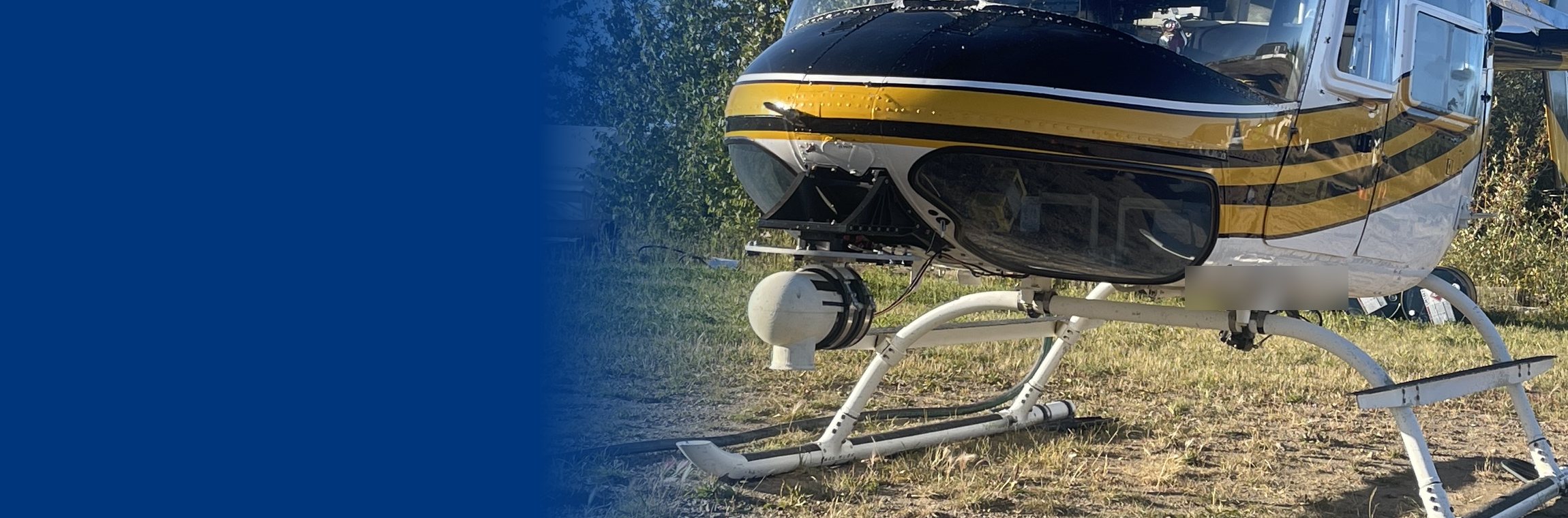
- Standard helicopters such as a Bell 206, or other manned or unmanned aircraft. Local aircraft providers can be used, which keeps mobilization simple.
Remote sensing shouldn’t take months
Linear disturbance is long, and most of it is hard to reach. Walking it, or waiting months for imagery to be processed, doesn’t scale. rapid-ortho does.
- A corridor is captured in a single flight line.
- Imagery is georeferenced and processed fast, so results arrive while decisions are still open.
- AI classification turns images into data you can report.
100x
Faster than traditional imagery processing.
10,000+
Georeferenced images a day, documenting history and proving truth.
1
Flight line captures a corridor in a single mobilization.
How it works
From the air to a report, with nothing lost in between.
Fly
One flight line, from a manned or unmanned aircraft, including local providers.
Process
High-resolution, georeferenced imagery, processed fast.
Classify
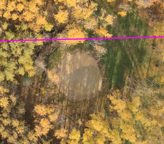
AI identifies vegetation species, canopy height, infrastructure, and disturbance.
Report
Results in an easy web view, with automated reporting for regulators.
Where it is used
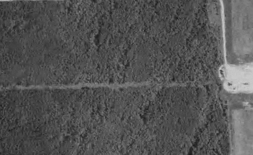
Built for linear disturbance such as pipelines, seismic lines, and access roads, and for well sites and pads.
Pipeline corridors
Monitoring and integrity support along the whole right-of-way.
Reclamation and restoration
Track natural regrowth and whether restoration is working.
New corridors
Assess a new corridor end to end and evaluate routes.
Wells, pads, and post-fire
Monitor sites and assess right-of-way recovery after fire.
- BC dormant pipelinesAerial and visual assessment of the entire right-of-way, designed to support the BCER’s requirement.
- Alberta caribou sub-regional plansSite-specific imagery of linear features, with AI classification to support regulatory reporting.
- Corridor vegetation managementVerification imagery alongside satellite monitoring.
How it fits with the other tools
rapid-ortho captures the detail. It works on its own, and it feeds ground-truth imagery into genesis-ei.
- Understandgenesis-ei 2.2
Land planning and monitoring, continuously updated.
- Capturerapid-ortho
Fast, high-resolution imagery of corridors and sites.
- Managefield-dms
Field data, collected once and reported anywhere.
- Engagegeo-story
Interactive stories that everyone can review.
- Resolvesmart-dig
3D plume models that design the excavation first.
Questions we hear
What is rapid-ortho?
rapid-ortho produces fast, high-resolution, georeferenced aerial imagery of corridors and sites. It captures a corridor in a single flight line from manned or unmanned aircraft and processes the imagery 100 times faster than traditional imagery processing.
What is it used for?
Pipeline corridor monitoring, reclamation and restoration monitoring, new corridor assessment and route evaluation, dormant pipeline right-of-way assessment, post-fire right-of-way recovery, and well-site and pad monitoring.
What does the AI do with the imagery?
It classifies vegetation species and low-level grasses, measures canopy height, tracks restoration effectiveness and natural regrowth, maps infrastructure and environmental constraints, and supports audit and monitoring for linear disturbance requirements, with results in a web-based view and automated reporting.
Do I need genesis-ei to use it?
No. rapid-ortho works on its own. genesis-ei can read imagery from any source, including rapid-ortho, LiDAR, photogrammetry, satellite, or drone, and rapid-ortho is the option when you need the fastest, highest-resolution capture.
What aircraft does it use?
Standard helicopters such as a Bell 206, or other manned or unmanned aircraft. Local aircraft providers can be used, which keeps mobilization simple.
Get a corridor quote.
Tell us the corridor, the length, and the question you need answered.