
Contamination and reclamation monitoring
Find, size, and close out legacy sites with evidence that holds up, then show the land recovering.
For liability holders, remediation teams, and land managers across Canada.
How we help you size and close out legacy sites
smart-dig builds a 3D conceptual plume from historical assessment data, so teams can estimate the volume of contaminated soil and design the excavation before the machine moves. genesis-ei and rapid-ortho then show reclaimed land recovering. The regulator, not ProDelta, issues any certificate.
Rules last checked . Worth knowing: BC’s site certification guidance was last updated on January 14, 2026. This is a plain-language summary, not legal advice.
- How accurate is it?
- Plume accuracy averages plus or minus 1 to 5 metres, depending on sample density and positional accuracy.
- Does it replace a site investigation or issue a certificate?
- No. It builds on existing investigation data and supports qualified professionals. Only the regulator can certify a site.
Legacy sites hide their cost until the machine moves
Old well sites, pipeline sites, and industrial properties carry liability that is hard to size. Excavation budgets swing when the contamination turns out bigger or smaller than expected, and closing a site takes proof.
After remediation, regulators and communities also want to see the land recovering.
- Unknown extentHistorical sampling leaves gaps between data points.
- Budget swingsDigging too little means repeat work. Digging too much costs more.
- Proof to closeCertification needs documented investigation and outcomes.
- Recovery evidenceReclaimed land has to show it is coming back.
The rules that shape contamination and reclamation work
Rules differ by province and by the kind of site. These are the main ones this work supports with evidence.
Federal
- Fisheries Act. Its fish and fish habitat part also deals with pollution prevention, which can apply when contamination reaches water.
British Columbia
- Environmental Management Act and Contaminated Sites Regulation. A site can be certified as contaminated, not contaminated, in the process of remediation, or remediated. Remediated sites can receive a certificate of compliance.
- Dormancy and Shutdown Regulation. Sets closure expectations for dormant oil and gas sites. See our page on BC dormant pipelines.
Alberta
- Environmental Protection and Enhancement Act. Includes a duty to take remedial measures when a substance causes an adverse effect.
- Remediation Regulation. Provides for a voluntary remediation certificate and relies on Alberta’s tiered guidelines for contaminated sites.
Sources: Government of British Columbia (site remediation certification, January 2026), Government of Alberta (Remediation Regulation overview), Justice Canada (Fisheries Act). Plain-language summary, not legal advice. The regulator, not ProDelta, issues any certificate.
Size it, dig it right, show it recovering
ProDelta supports qualified professionals. It does not replace site investigations or issue certificates.
- smart-dig builds a 3D conceptual contamination plume from historical assessment data, with accuracy averaging plus or minus 1 to 5 metres depending on sample density, and exports to machine control systems.
- rapid-ortho scouts sites with high-resolution imagery, processed 100 times faster than traditional imagery processing.
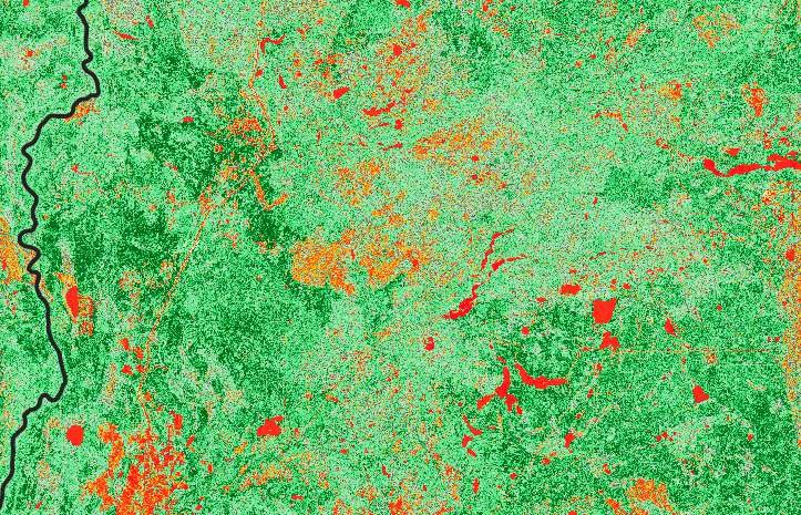
- genesis-ei tracks vegetation recovery and restoration priorities over time.
- geo-story reports results to regulators, landowners, and communities.
What you walk away with
A volume you can plan around
An estimate of contaminated soil before the excavator arrives, to reduce the risk of overruns and repeat excavation.
Evidence of recovery
Repeatable imagery and vegetation measures showing reclaimed land coming back.
Clear reporting
Results in a form regulators and communities can follow.
Related land monitoring topics
Closing a site often touches water, habitat, and the wider footprint.
Questions we hear
What is smart-dig?
smart-dig uses historical assessment data to build a 3D conceptual contamination plume, so remediation teams can estimate the volume of contaminated soil and design the excavation before the machine moves.
How accurate is it?
Plume accuracy averages plus or minus 1 to 5 metres, depending on sample density and positional accuracy.
Does it replace a site investigation or issue a certificate?
No. It builds on existing investigation data and supports qualified professionals. Only the regulator can certify a site.
How do you show reclamation working?
genesis-ei and rapid-ortho show vegetation recovery and ground conditions over time, so you can document that reclaimed land is coming back.
Which rules apply?
In British Columbia, the Environmental Management Act and Contaminated Sites Regulation, and for dormant sites the Dormancy and Shutdown Regulation. In Alberta, the Environmental Protection and Enhancement Act and the Remediation Regulation. Federally, the Fisheries Act can apply when water is affected.
Know the size of the job before you dig.
Tell us about your site and your data. We’ll show what a 3D plume and a recovery record add.