
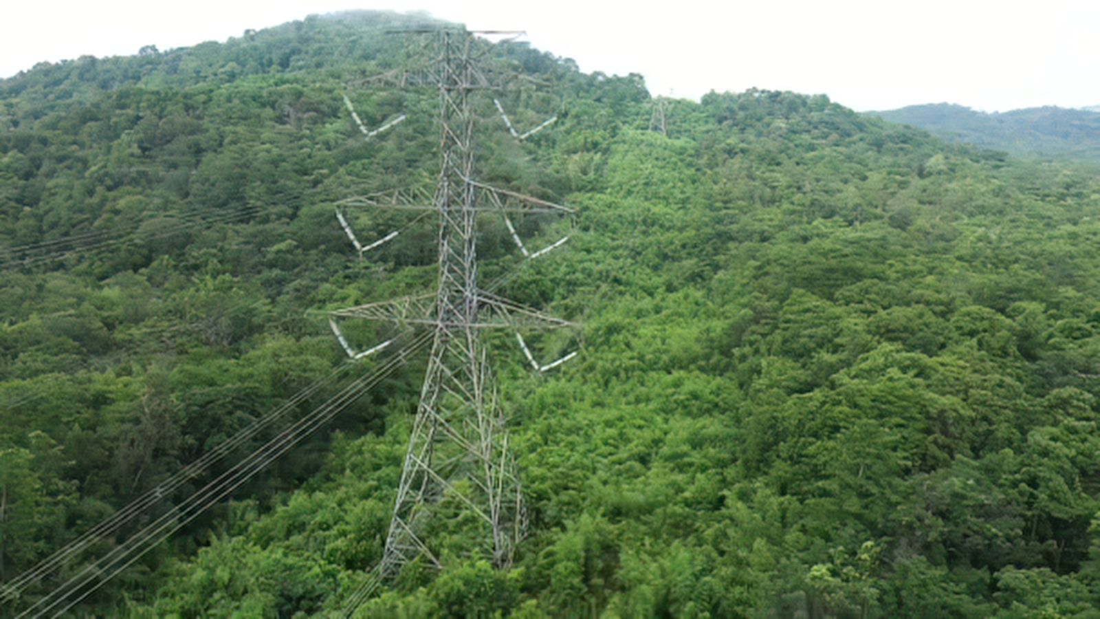
Vegetation and corridor monitoring
Keep power lines, pipelines, and rights-of-way clear and compliant, with a continuously updated picture of the vegetation around them.
For utilities, pipeline operators, municipalities, and communication-line owners across Canada.
How we help you keep corridors clear and show your work
genesis-agu monitors vegetation along above-ground utility corridors from open satellite imagery, ranks risk parcel by parcel, and keeps a dated record. rapid-ortho adds high-resolution imagery where more detail is needed. It supports your crews and arborists. It does not replace them.
- How often is the imagery refreshed?
- genesis-agu imagery is refreshed up to four times a month, with a maximum refresh rate of 6 to 10 days. Availability after a major weather event depends on satellite location and cloud cover.
- Does it replace patrols and arborists?
- No. It tells your crews where to look first and gives you a record. Qualified professionals still decide and carry out the work.
Long corridors, limited eyes
Power lines, pipelines, and rights-of-way run for hundreds of kilometres. Vegetation grows back between patrols, and the places where it matters most are not always the places you check.
Vegetation near lines can cause outages and ignite wildfires, and clearing it has to respect nesting birds and listed species. You need to know where to work, when, and be able to show it.
- Growth you cannot see yetTrees move toward lines slowly, then all at once.
- Wildfire and outage riskRegulators and the public expect documented, risk-based plans.
- Wildlife windowsClearing during nesting seasons or near listed species adds legal risk.
- Proof on requestReviewers want a record of what you knew and what you did.
The rules that shape corridor vegetation work
Requirements differ by owner, line type, and province. These are the main ones this monitoring supports with documented, repeatable evidence.
Federal
- Migratory Birds Convention Act. Protects migratory birds, their eggs, and most nests while in use. Vegetation clearing has to account for nesting, and ECCC publishes guidelines on avoiding harm.
- Species at Risk Act. Prohibits killing, harming, or harassing listed species and protects their critical habitat. Permits may be needed for some activities.
British Columbia
- Wildfire Act and Wildfire Regulation. Set wildfire prevention and response duties for people carrying out activities on the land, including utilities.
- Wildlife Act. Protects nests of birds. Clearing has to avoid them.
Alberta
- Reliability Standard FAC-003-AB1-1. Requires transmission owners to run a vegetation management program with documented clearances, an annual work plan, tracking of completed work, and reporting of vegetation-related outages.
- Power Line Hazard Assessment Plan. An Alberta Wildfire requirement for power lines, and part of pre-application requirements inside the Forest Protection Area.
- Utility wildfire plans. The Alberta Utilities Commission reviews utility wildfire mitigation plans case by case. Alberta’s Wildfire Mitigation Strategy (March 2026) is a strategy, not a regulation.
Sources: Government of Canada (Migratory Birds Convention Act, Species at Risk Act guidance), Government of British Columbia, Government of Alberta, Alberta Electric System Operator and Alberta Utilities Commission documents (checked November 2026). This is a plain-language summary, not legal advice.
A continuous record of every corridor
ProDelta supports vegetation managers and arborists. It does not replace field crews.
- genesis-agu uses open satellite imagery to measure canopy height, species type, vegetation health, and biomass along above-ground infrastructure, with imagery refreshed up to four times a month and no LiDAR required.
- rapid-ortho captures pipelines and corridors with high-resolution imagery, processed 100 times faster than traditional imagery processing.
- genesis-ei adds wildlife and habitat layers so clearing plans can account for nesting and species at risk.
- geo-story turns the results into a story reviewers, landowners, and communities can follow.
What you walk away with
Risk-ranked parcels
Where vegetation is closest to lines and which parcels to treat first.
Evidence of your work
A dated record of conditions before and after work, ready for review.
Change over time
Historical change detection where archive data exists, to show trends rather than snapshots.
Related land monitoring topics
Corridors cross habitat, water, and cumulative footprint. These pages use the same evidence.
Questions we hear
What is corridor vegetation monitoring?
It is tracking vegetation along power lines, pipelines, and other rights-of-way, so owners know where growth is a risk and can plan and document clearing.
How often is the imagery refreshed?
genesis-agu imagery is refreshed up to four times a month, with a maximum refresh rate of 6 to 10 days. Availability after a major weather event depends on satellite location and cloud cover.
Do I need LiDAR?
No. genesis-agu is built on open satellite imagery, so it does not depend on LiDAR collection. Higher-resolution options, including rapid-ortho, are available for higher-risk areas.
Does it replace patrols and arborists?
No. It tells your crews where to look first and gives you a record. Qualified professionals still decide and carry out the work.
Which Canadian rules does this relate to?
Depending on who owns the line and where it runs, the main ones include the Migratory Birds Convention Act, the Species at Risk Act, British Columbia’s Wildfire Act and Wildfire Regulation, and in Alberta the transmission vegetation reliability standard and the Power Line Hazard Assessment Plan. Compliance remains the owner’s responsibility.
Know where to work first.
Tell us about your corridors. We’ll show what a continuous picture looks like.