
Where will your story go?
geo-story
Present your project in an interactive environment where stakeholders can comment and focus on working together toward shared solutions.
For proponents, regulators, and First Nations who need to see the same story.
What is geo-story?
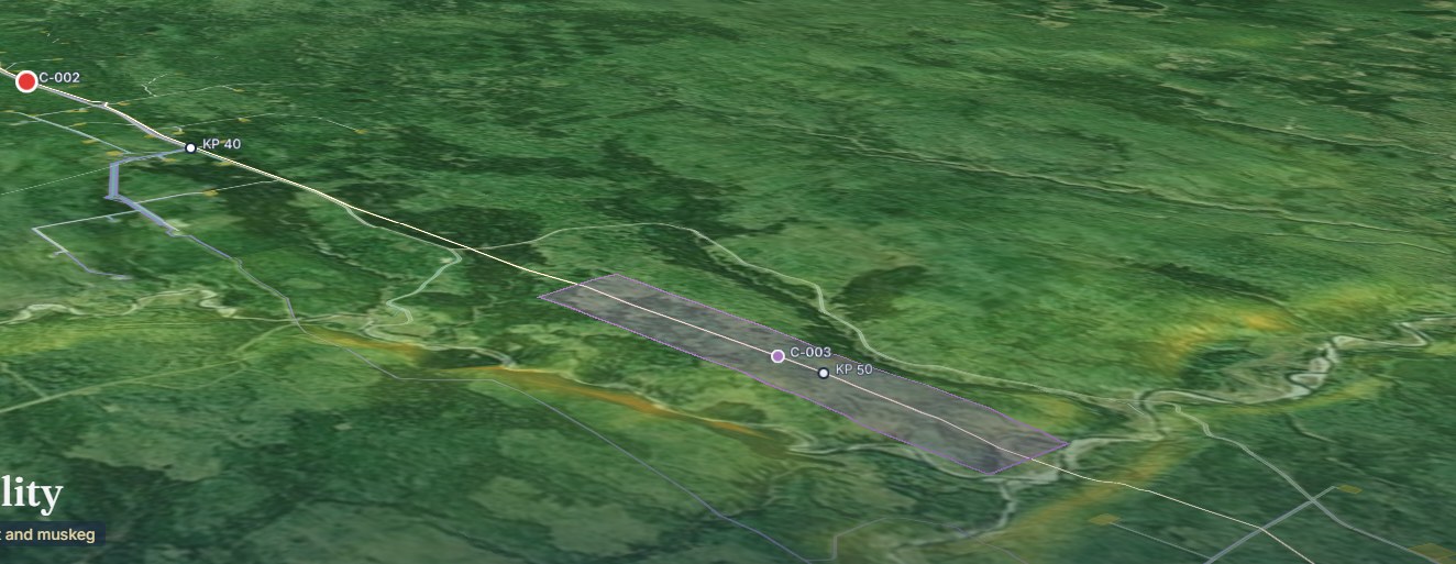
geo-story is where a land story is told, reviewed, and agreed. It presents a project in an interactive environment, with the map, photos, dashboards, and a plain-language summary in one flow, where stakeholders can comment and focus on working together toward shared solutions.
- How is it different from a PDF submission?
- Most regulatory submissions are hundreds of pages in a PDF. geo-story replaces that with a story you move through chapter by chapter, with the map moving as the story does, and reviewers can comment at the point they are responding to.
- Who sees what?
- Nations review in their own context, with sensitive sites kept confidential and off public maps. Regulators can drill into methods and data tables. Proponents see where they are and who is waiting on what.
Consultation shouldn’t feel like a checkbox
Most submissions are hundreds of pages in a PDF, and everyone works from a different map. When everyone knows where the story is going, trust replaces tension.
- Stakeholders shouldn’t work from different maps.
- Your regulatory journey shouldn’t be a black box.
- First Nations shouldn’t learn about projects from the news.
One story
Map, photos, data, and summary in one flow.
In context
Comments sit at the exact point of the story they respond to.
Shared
Everyone looks at the same evidence.
How a review works
The reader scrolls, and the evidence moves with them.
The map advances
It shows progress and conditions at each point in the story.
Photos in context
Field and aerial photos appear where they matter.
The data behind each claim
Dashboards show wildlife, vegetation, water, and recovery.
Plain-language summary
A short summary sits beside the evidence at every step.
- Baseline
- Risk analysis
- Monitoring
- Cultural integration
- The path forward
An example journey for an adaptive management plan. A regulatory path can run: baseline, consultation, application, review, approval.
Who sees what
First Nations
Review in their own context, with Indigenous knowledge in the story from the first chapter. Sensitive sites stay confidential and off public maps.
Regulators
Drill into methods and data tables behind every finding.
Proponents
See exactly where the project is and who is waiting on what.
Communities
Follow the story at a community meeting as easily as in a technical review.
- Two-Eyed SeeingWestern science and Indigenous knowledge given equal weight.
- TransparencyClear reasoning for every AI-assisted finding.
- AccessibilityWorks on a phone, in a meeting, and in print.
- ConfidentialitySacred and ceremonial sites are protected.
How it fits with the other tools
geo-story is where the evidence becomes a story. It draws on genesis-ei, rapid-ortho, and field-dms.
- Understandgenesis-ei 2.2
Land planning and monitoring, continuously updated.
- Capturerapid-ortho
Fast, high-resolution imagery of corridors and sites.
- Managefield-dms
Field data, collected once and reported anywhere.
- Engagegeo-story
Interactive stories that everyone can review.
- Resolvesmart-dig
3D plume models that design the excavation first.
Questions we hear
What is geo-story?
geo-story is where a land story is told, reviewed, and agreed. It presents a project in an interactive environment, with the map, photos, dashboards, and a plain-language summary in one flow, where stakeholders can comment and focus on working together toward shared solutions.
How is it different from a PDF submission?
Most regulatory submissions are hundreds of pages in a PDF. geo-story replaces that with a story you move through chapter by chapter, with the map moving as the story does, and reviewers can comment at the point they are responding to.
Who sees what?
Nations review in their own context, with sensitive sites kept confidential and off public maps. Regulators can drill into methods and data tables. Proponents see where they are and who is waiting on what.
Where does the evidence come from?
Typically from genesis-ei for the land baseline, rapid-ortho for imagery, and field-dms for field data, though a story can draw on any approved data.
Where will your story go?
Tell us about your project and we will show you how it reads as a story.