
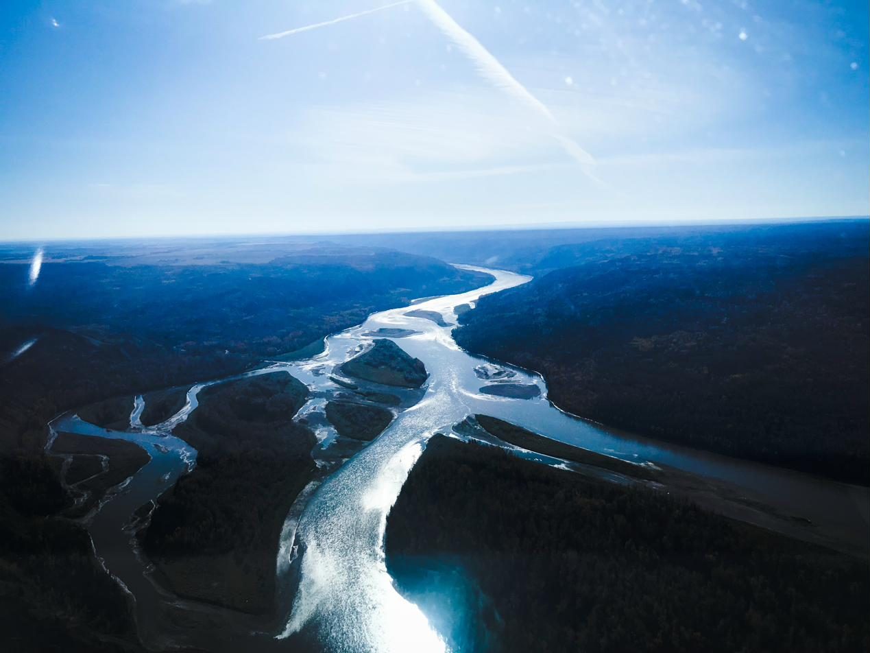
Water and fish habitat monitoring
Know where your project meets streams, wetlands, and fish habitat, and track how those places change after work begins.
For proponents, planners, and professionals working near streams, wetlands, and watersheds in Canada.
How we help you work near water with confidence
ProDelta maps fish habitat and the vegetation around water in minutes, then repeats the analysis to show change after storms, fires, or development. It supports qualified professionals. It does not replace stream delineation, riparian assessments, or water sampling.
Rules last checked . Worth knowing: The federal Fisheries Act is current to September 30, 2026, and was last amended in November 2024. This is a plain-language summary, not legal advice.
- Does it replace a riparian or wetland assessment?
- No. Those assessments are done by qualified professionals under provincial rules. genesis-ei adds landscape context that helps them work faster.
- Which rules apply to work near water?
- Federally, the Fisheries Act. In British Columbia, the Water Sustainability Act and, where it applies, the Riparian Areas Protection Regulation. In Alberta, the Water Act and the Alberta Wetland Policy. Check requirements with your regulator.
Where work meets water, the rules get specific
Crossings, culverts, clearing near banks, and work in wetlands all need approvals, assessments, and often a qualified professional. Streams and wetlands also change after storms, fires, and development.
You need to find water and fish habitat early, plan around it, and show what changed afterward.
- Approvals before workMost work in or near water needs notification, approval, or authorization.
- Setbacks and assessmentsQualified professionals assess riparian areas and wetlands.
- Offsets and feesUnavoidable wetland loss can trigger replacement requirements.
- Provincial maps are broadProvincial watershed results are modelled at a coarse scale.
The rules that shape work in and near water
Fish habitat and water are regulated federally and provincially. These are the main requirements this monitoring helps you evidence.
Federal
- Fisheries Act. Section 35 says no one may carry on a work, undertaking, or activity that results in the harmful alteration, disruption, or destruction of fish habitat, unless it is authorized or otherwise permitted under the Act.
- Species at Risk Act. Also covers listed aquatic species and their critical habitat.
British Columbia
- Water Sustainability Act. Regulates “changes in and about a stream”, such as crossings and culverts, through notification or approval.
- Riparian Areas Protection Regulation. Where it applies, development within 30 metres of a stream, lake, or wetland needs an assessment by a qualified environmental professional.
- Cumulative Effects Framework. The aquatic ecosystems protocol models watershed condition across the province at a coarse scale.
Alberta
- Water Act. Activities that affect a water body need an approval. The Alberta Energy Regulator handles energy activities and Environment and Protected Areas handles other sectors.
- Alberta Wetland Policy. Wetland assessments are authenticated by qualified professionals, and unavoidable wetland loss is offset through replacement requirements.
- Watercourse crossings. A management directive and codes of practice guide crossings of watercourses and water bodies.
Sources: Justice Canada (Fisheries Act, current to September 2026), Government of British Columbia (Water Sustainability Act and Riparian Areas Protection Regulation guidance; Cumulative Effects Framework guidance, April 2026), Government of Alberta and Alberta Energy Regulator (Water Act and wetland policy pages). Plain-language summary, not legal advice.
Find water and habitat early, then watch it
ProDelta supports qualified professionals. It does not replace stream delineation, riparian assessments, or water sampling.
- genesis-ei maps fish habitat and the vegetation and canopy around water, with an initial analysis in minutes.
- Repeat analysis shows change over time after storms, fires, or development.
- rapid-ortho captures crossings and sites with high-resolution imagery, including over snow, ice, and open water.
- geo-story presents the evidence for regulators, Nations, and communities.
What you walk away with
A map of where water and habitat sit
Streams, wetlands, and habitat across your project area, before routes are fixed.
Evidence for assessments
Landscape context your qualified professionals can use alongside field work.
Change you can show
Repeat analysis that documents conditions before and after work.
Related land monitoring topics
Water ties together habitat, vegetation, and cumulative footprint.
Questions we hear
What does genesis-ei show about water and fish?
It maps fish habitat and the vegetation and canopy around water, and can repeat the analysis to show change. It is one of 15 indicators today, and the list is growing.
Does it replace a riparian or wetland assessment?
No. Those assessments are done by qualified professionals under provincial rules. genesis-ei adds landscape context that helps them work faster.
Does it measure water quality or flow?
No. It does not take water samples or lab measurements. Those stay with qualified professionals and labs.
Which rules apply to work near water?
Federally, the Fisheries Act. In British Columbia, the Water Sustainability Act and, where it applies, the Riparian Areas Protection Regulation. In Alberta, the Water Act and the Alberta Wetland Policy. Check requirements with your regulator.
Can it work over open water and snow?
rapid-ortho is built to collect usable imagery across snow, ice, open water, and dense vegetation. Ask us about your terrain and season.
Know where your project meets water.
Tell us about your watershed. We’ll show what a current picture adds.